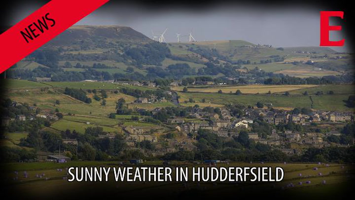
Enjoy the mini heatwave while it lasts, the Bank Holiday weekend in Huddersfield is going to be “mixed” at best.
Examiner weather expert Paul Stevens says Tuesday and Wednesday’s glorious sunshine will end with a bang on Thursday – possibly quite literally – before a changeable three-day weekend.
Temperatures topped 80F (27C) on Tuesday and could be similar on Wednesday but on Thursday prepare for heavy, thundery showers which could be torrential in places.
Salendine Nook-based Paul said: “Best enjoy the temperatures while they last. It will be downhill after the current heatwave is out of the way.
“It’s not all bad, however, but I’d describe the Bank Holiday weekend as mixed.

“Saturday will be warm and humid with showers clearing through on Saturday night. Sunday will be the best day of the weekend. There is more chance of drier weather but it’ll be fresher.
“Monday will see a few showers and it will be colder with stronger North West winds. There will be no heatwave this weekend but it won’t be a complete washout either.”
Paul says people should prepare for a sticky night on Tuesday with temperatures holding up overnight with a hazy start in the morning.
Thursday is the day to beware of and Paul said: “There will be spells of heavy rain, some of it thundery at times and possibly quite torrential in places. There could even be the chance of localised flooding.”
With summer on the way out, next week’s weather all depends on how a tropical storm currently off the east coast of North Africa develops.
Paul reckons the storm could turn into a hurricane and head our way. Or it might not.
“It’s all up in the air at the moment,” said Paul.