The weather is set to throw everything at Huddersfield this week.
We are likely to get sunny spell, heavy rain showers like the ones which created the problems above, gale-force winds and even the first snow of the winter.
Huddersfield weatherman Paul Stevens has warned that temperatures - which have been exceptionally mild for the past month - look set to plummet and could drop as low as just 2° by the weekend.
That means the rain that is forecast is likely to fall as sleet or snow on the hills and on the town itself.
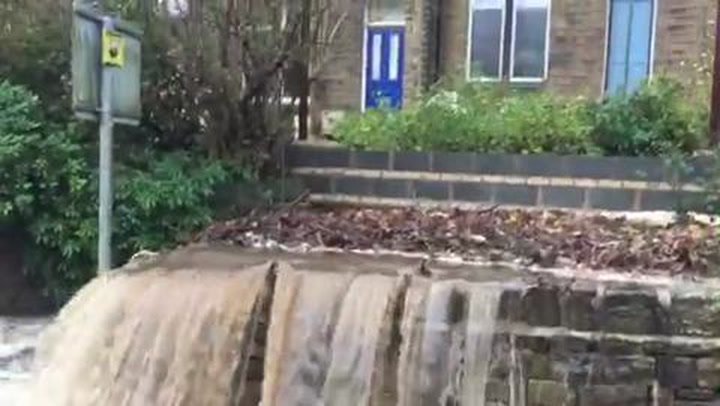
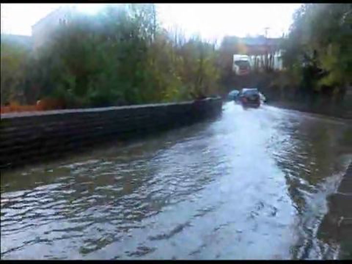
The news of sleet, snow and more rain comes after torrential downpours last weekend which brought flood problems throughout the town.
Drivers in many areas were caught out as streams and drains overflowed, and flood water several feet deep caused problems.
See pictures of the flooding below.

Mr Stevens said: “We can expect more heavy rain today after a cloudy start but it will ease up later to turn to showers.
“Wednesday will bring another band of squally rain showers while on Thursday there will again be more showers but generally drier that we have had recently.
“It will also start to turn colder and the colder air continues through Friday. On Friday night we can expect a band of showers moving south on the winds from the north, which will turn to sleet and snow, so don’t be surprised to see a covering on the hills above 500 feet.
Weird and wonderful weather in Huddersfield


“At this point we are talking of only a few centimetres of snow but icy roads will develop as the temperatures drop to just 2°.
“It will remain cold on Saturday with good sunny spells and an isolated sleet or snow shower”.
The Environment Agency, which had a number of flood warnings and flood alerts on rivers such as the River Calder and local streams like Fenay Beck and the River Spen, have now relaxed their stance.
River levels in West Yorkshire have subsided from the weekend peak.